
Click here to see the live tool.
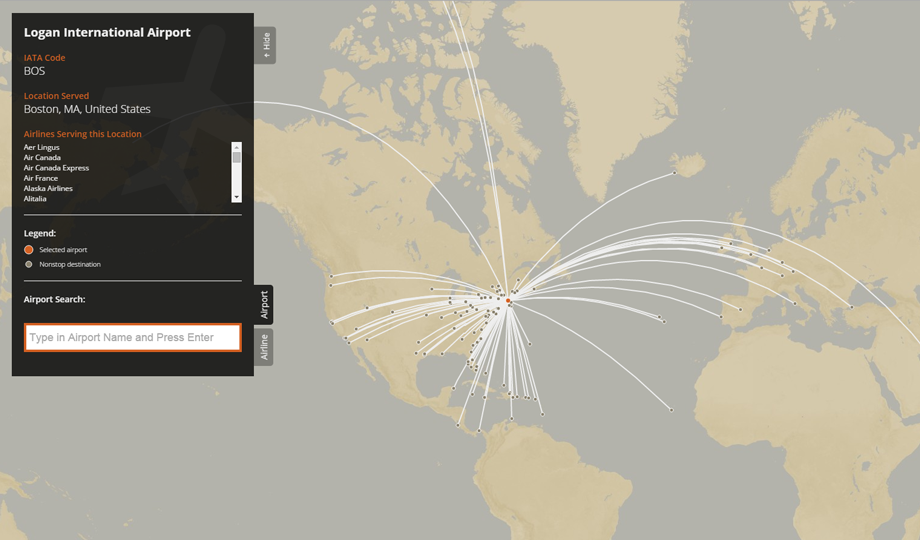
Airport Route Map
This was a personal interactive design project. Unlike the majority of my work, it is not scientific in nature, but it still provided an interesting challenge in representing a massive amount of data. The purpose of the visualization is to depict the route maps for commercial airports and airlines. There are of course existing tools that already do this, including openflights.org and flightmapper.net, but I had the desire to make one of my own.
The primary tools I used to build this interactive map were D3.js, Mapbox (and fallback to OpenStreetMap), Leaflet, JavaScript and jQuery. The map also features arc.js and typeahead.js.
Data came from many sources, wherever I could find the necessary information. That included Wikipedia, official airport websites, official airline websites, iata.org, and openflights.org. There are a couple caveats associated with this design project: since this project does not use an API, the data itself will be dated, and certain tools that it relies on, such as Mapbox and Leaflet, may be out of date as well since this was built in 2015.